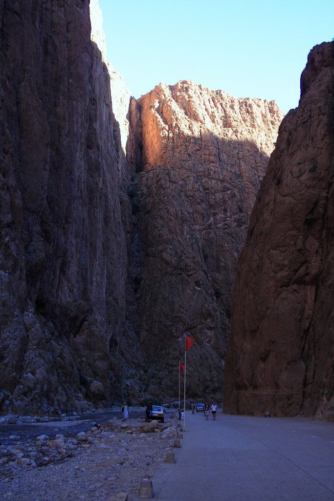
Up Ron & Marjolijn's holiday pictures » 2010-10 Marokko » 10-Draa Prev Next Slideshow

 Previous image  Next image  Index page  Original Image [17-Todra gorge.jpg - 867kB]
05-Fossils in relief
06-Desert rose
07-A serie of water wells in an underground riverbed
08-Getting the bucket out of the well
09-He has walked undergroud from one well to the other
10-Walking through the palmeraie de Tineghir
11-The kasbah near Douar Ait Boujane
12-Walking through the palmeraie de Tineghir
13-Walking through the palmeraie de Tineghir
14-Douar Ait Boujane and the palmeraie de Tineghir
15-Palmeraie along the Todra river
16-Todra gorge
  17-Todra gorge.jpg - Todra gorge  
18-Todra gorge
19-Todra gorge
20-Landscape along the N10


Todra gorge Download Original Image
Latitude: N 31°35'16,99" | Longitude: W 5°35'27,96" | Altitude: 1269 metres | Location: Aït Baha | State/Province: Souss-Massa-Drâa | Country: Marokko | Copyright: Ron Harkink | See map
Total images: 20 | Help